
Community listing page, reviews here may not be monitored by the author.
FT's Geology

No reviews yet
A geology layer for Minecraft: real plate tectonics driving real landforms. Strongly recommended alongside Flowing Fluids and especially Terralith.
Community voices
Reviews
No reviews yet. Be the first to review this project!
Get it on
Available Platforms
About
Project Details
For authors
Embed Badge
If you're the author of this project, you can embed a live badge anywhere that supports HTML or Markdown. It updates automatically whenever ratings change.
Use HTML for any page that supports it, or Markdown for README files and Markdown-based descriptions.
Identifiers
Platform IDs
Resources
External Links
About
Description
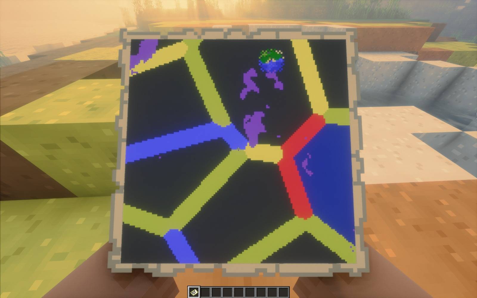
The world gets a tectonic model derived from its seed — drifting plates, and the boundaries between them. Everything else follows from that, rather than from a list:
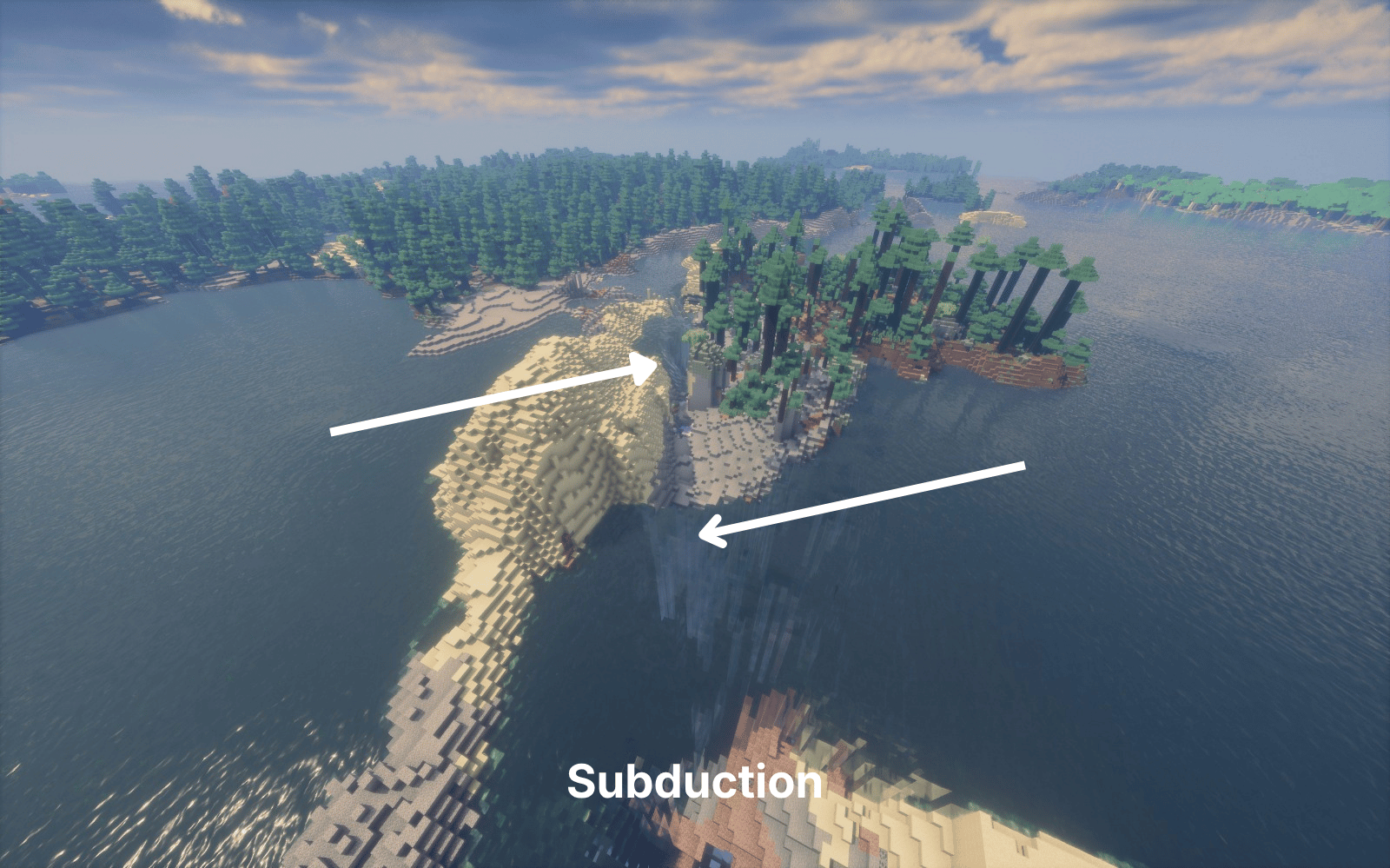
- Four real fault types — divergent, subduction, collision, transform — each producing the landforms it should: rift valleys, volcanic arcs, mountain belts, strike-slip offsets
- Earthquakes on those faults, with early warning: a seismograph sounds ten seconds before the ground moves. Then it moves, and the camera goes with it — dust off the ground, unsupported blocks coming down
- Four real volcano types — stratovolcano, shield, caldera, fissure — the setting picks which one, not a dice roll
- Eruptions you can see from the far side of a valley: an ash column standing hundreds of blocks up and leaning off downwind, ash settling in layers on the ground beneath it, and old lava flows frozen down the flanks that still glow at night
- Hot springs fed from fifty blocks down, out of an earthquake's reach — so a quake can block one but never destroy it. They grow over in-game days into travertine terraces with the coloured microbial bands that make Grand Prismatic look the way it does, and spill a pale sinter ribbon downhill
- Geothermal basins with an actual floor: sinter flats, mud pots, sulfur staining and steaming vents between the springs, at hotspots, rifts and volcanic arcs alike
- 86 blocks — 12 rocks, 7 minerals, and polished, slab, stair and wall forms of all of them
- Soil that takes its colour from the rock beneath it — red laterite over basalt and gabbro, pale rendzina over carbonate, leached podzol over granite
- Boundary geology underground — a subduction slab, a collision root, dike swarms, shear zones. Dig under a volcanic arc and you find granite, because that is what is there
- Instruments — a seismograph that measures distance and magnitude off its own trace, a geologist's hammer that reads the strata beneath a rock, a fault compass for strike and plate motion — and an in-game field guide that explains what all of it means
Most world-generation mods decide what a place looks like. This one decides why. A volcano's shape is not picked from a list — it comes from the plate boundary it sits on, and so does the rock under it, the earthquakes that shake it, and the springs around it. The aim is a world you can read: stand somewhere, look at the ground, and work out what is happening beneath it.
Reads the world's biome source rather than replacing it, so it stacks on top of Terralith and Tectonic instead of fighting them. Retrogen-safe: it bolts onto worlds that already exist.
Nothing is destroyed, but ground that loses its support falls — builds included. Both behaviours are config toggles (unsupportedBlocksFall, fallingIncludesPlayerBlocks), as is whether earthquakes may deform player blocks at all (quakesBreakBuilds, off by default). 116 settings in total, all in <world>/serverconfig/fts_geology.toml.
Screenshots
Gallery
-
 6231dbda-e60d-4d7b-9baa-1d6439529125.jpg 6231dbda-e60d-4d7b-9baa-1d6439529125.jpg
 -
 Subduction (1).png Subduction (1).png
 -
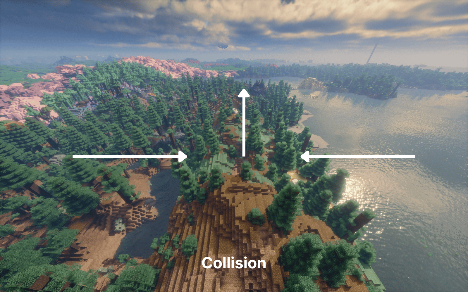 image-attachment_62add684-9b96-4517-a3be-975b914e6737.png
 -
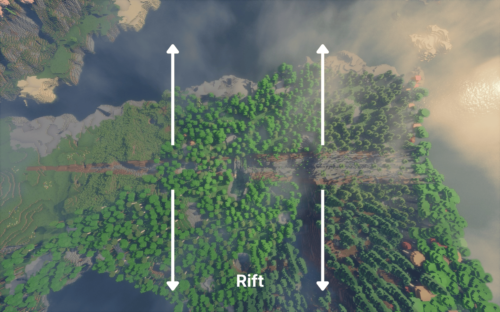 image-attachment_10d55e67-ba83-4dbb-bf81-37805039a8a4.png
 -
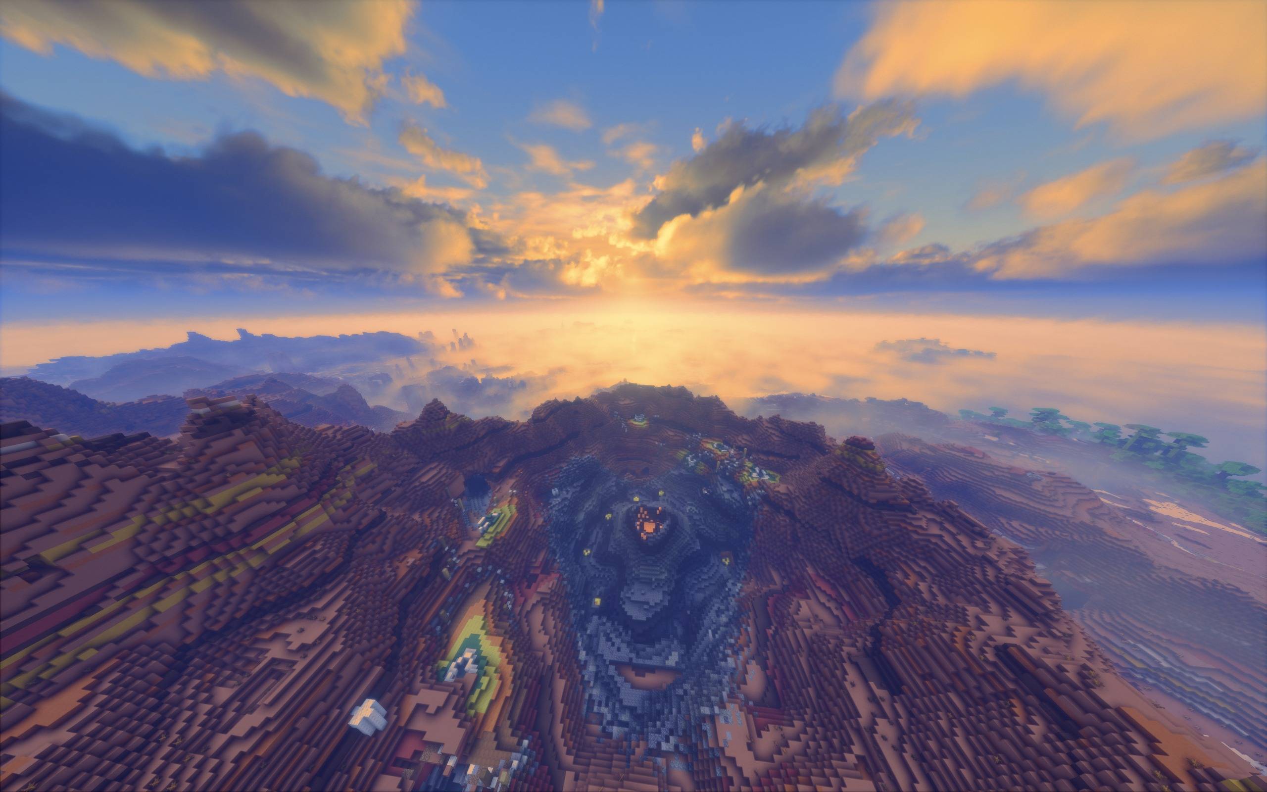 image-attachment_84683ff8-a462-481a-9720-91c5c4d8d227.jpeg Stratovolcano
 -
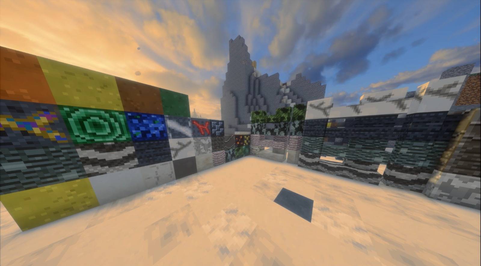 f4a1b758-a970-4c44-91b5-a7347bd41496.jpg f4a1b758-a970-4c44-91b5-a7347bd41496.jpg
 -
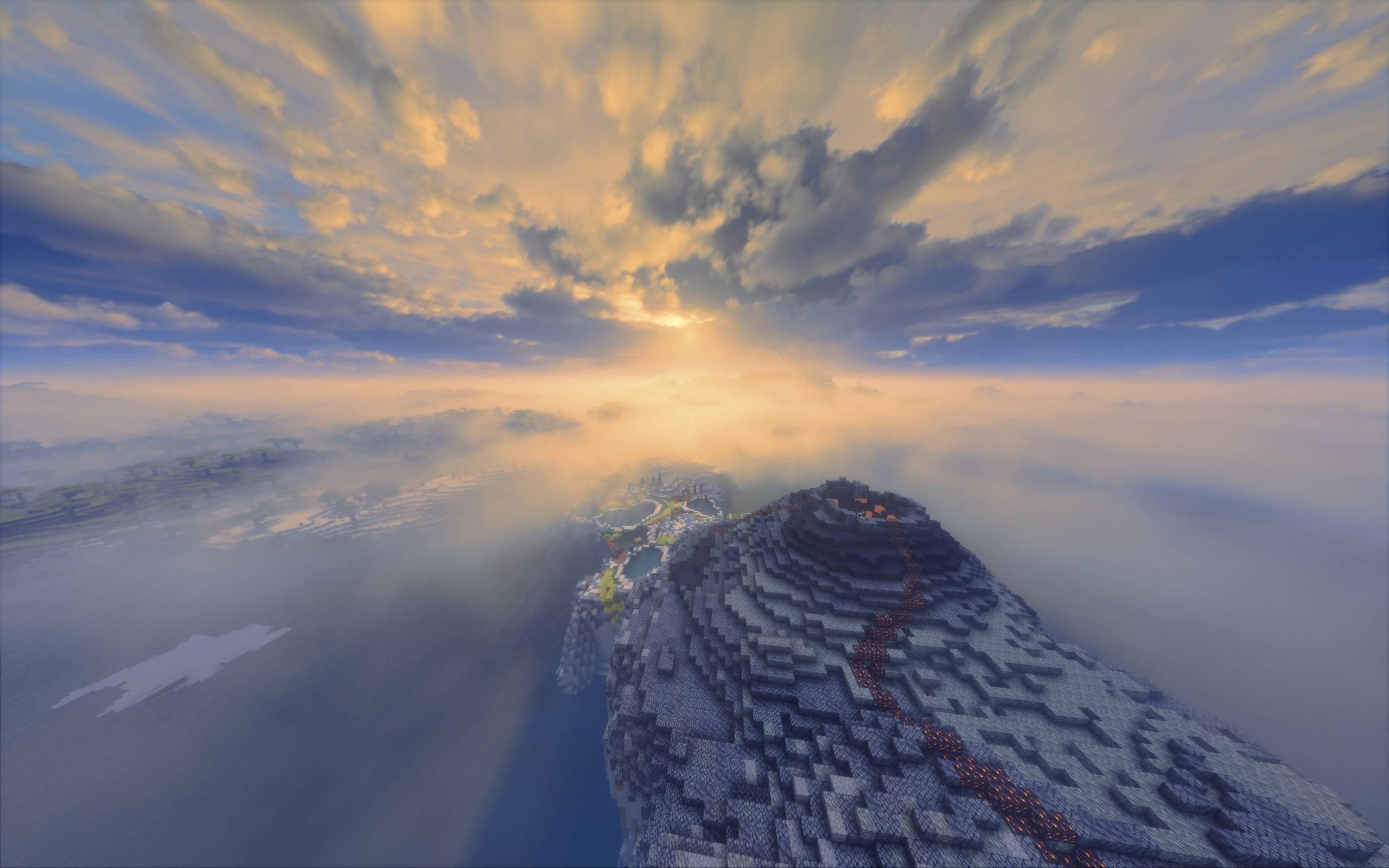 aeeccd69-41f9-43b4-a2fd-9802a427904e.jpg aeeccd69-41f9-43b4-a2fd-9802a427904e.jpg
 -
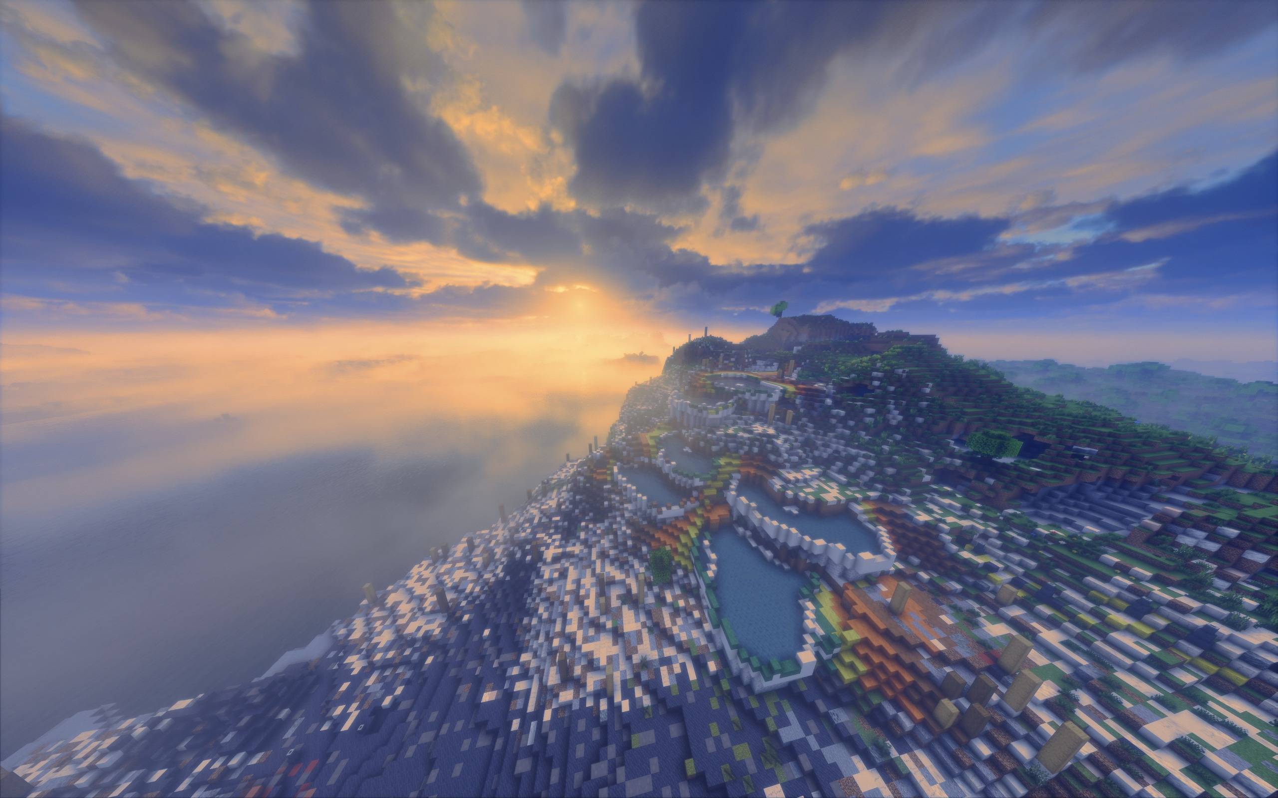 a290f9c1-5aa1-425b-9d84-03ae8166eadd.jpg a290f9c1-5aa1-425b-9d84-03ae8166eadd.jpg
 -
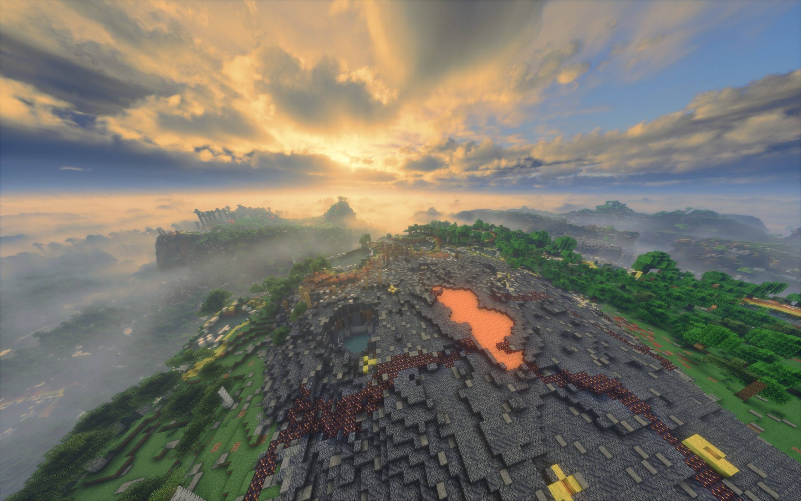 bf01fab3-7f16-4acd-b6e0-94c93070db5b.jpg bf01fab3-7f16-4acd-b6e0-94c93070db5b.jpg
 -
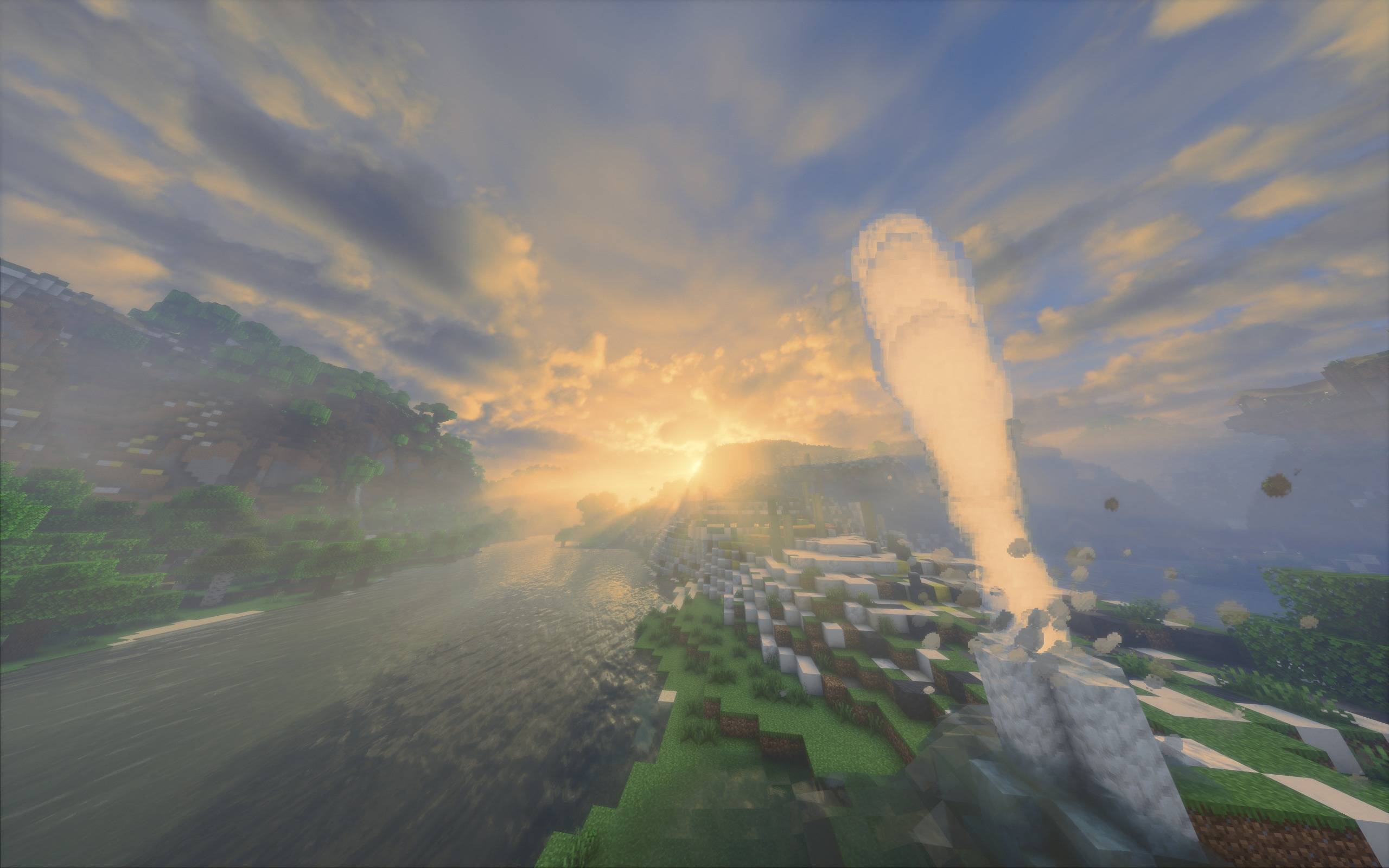 a1a9bcff-3adc-448c-94ec-cbabf9685a4c.jpg a1a9bcff-3adc-448c-94ec-cbabf9685a4c.jpg
Versions
Files
Relations
Project Relations
More like this
Similar Mods
Suggestions use data such as tags, dependencies, dependents, descriptions, titles, and more to rank how much they overlap with this mod.
On ModDex
Community snapshot
By the numbers
Statistics
Want to reach Minecraft players?
We're looking for a server hosting partner to feature here and other parts of the site. Interested? Send us a message!
Get in touchGet it on
Available Platforms
On ModDex
Community snapshot
By the numbers
Statistics
Resources