Community listing page, reviews here may not be monitored by the author.
Real Earth

No reviews yet
[AI-slop, Human Play testing] This mod adds both the world type "Real Earth", or the dimension "Earth", which uses real life data to build the world around you. Best effort builds, not striving for 100% realism.

Community voices
Reviews
No reviews yet. Be the first to review this project!
Get it on
Available Platforms
About
Project Details
For authors
Embed Badge
If you're the author of this project, you can embed a live badge anywhere that supports HTML or Markdown. It updates automatically whenever ratings change.
Use HTML for any page that supports it, or Markdown for README files and Markdown-based descriptions.
Identifiers
Platform IDs
Resources
External Links
About
Description
Real Earth

Disclaimer: Real Earth was written almost entirely by an AI, Claude (by Anthropic), working in Claude Code at my direction. I want to be upfront about that.
What I did: came up with the idea and decided what the mod should be and do, chose between the options offered (the Mercator map, the world type, real buildings instead of villages, and so on), set the requirements (one block per metre, storeys of at least 4.5 m, up to 10 floors, credits for every data source), play-tested it, found problems in game and reported them, and decided when it was ready to release.
What Claude did: wrote the code, the data handling, the self-tests and the documentation (including this page), researched the data sources and their licences, ran the automated tests and screenshot checks, and fixed the bugs that turned up, including the ones I found while playing.
I have not reviewed the code line by line. It is tested by its own automated self-tests and by play-testing, but treat it as the beta it is, and please report anything that looks wrong.
The Mod
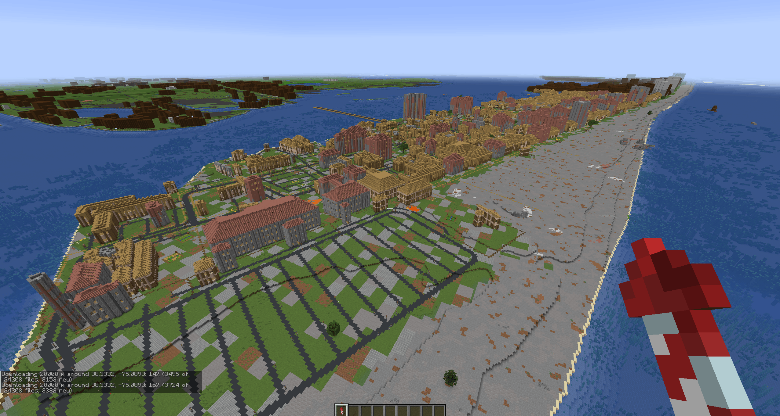
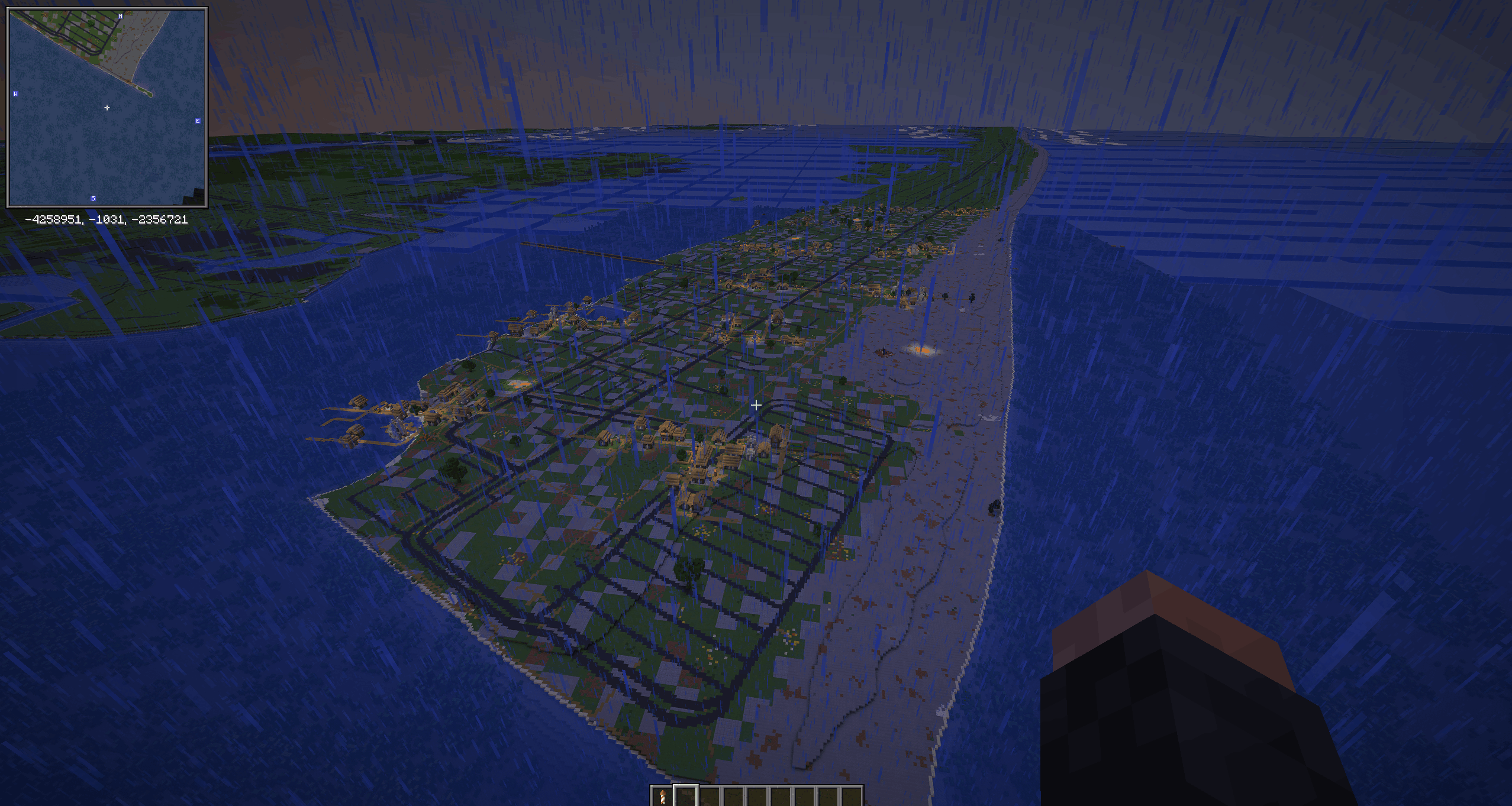
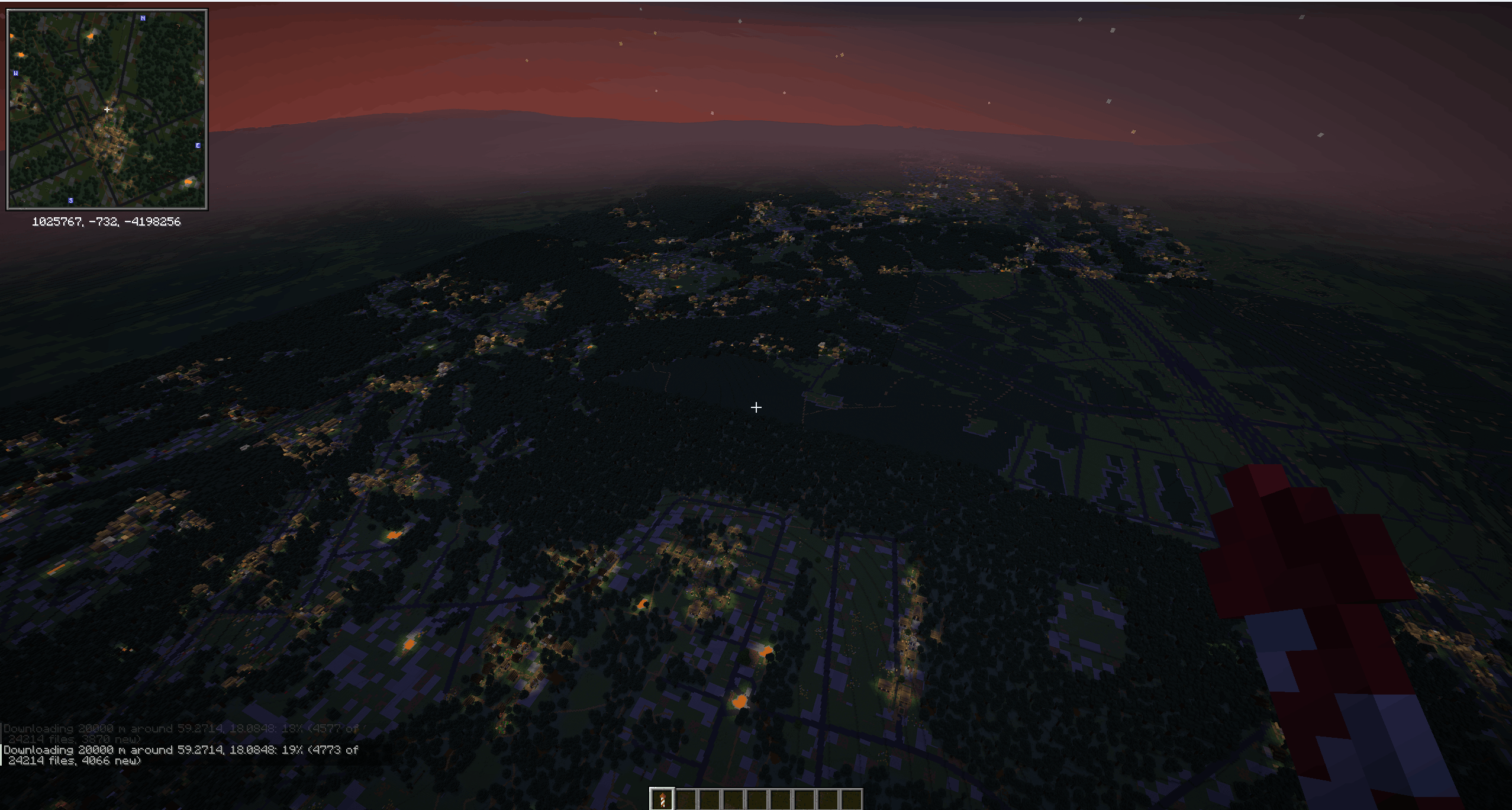
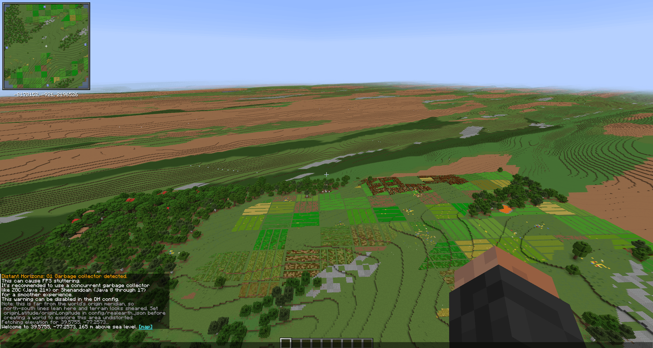
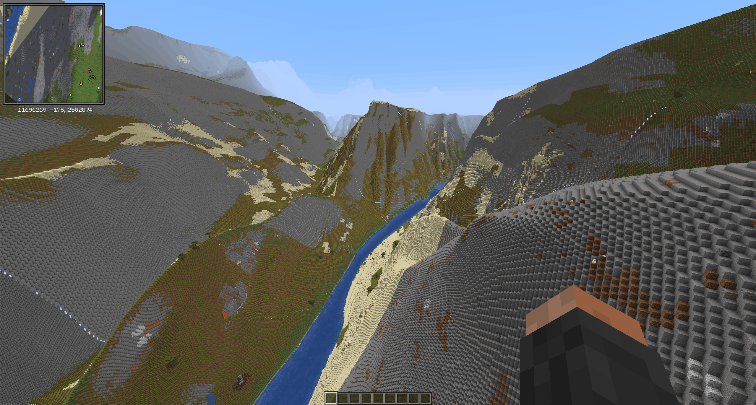
Play on the real(-ish) Earth, at one block per metre. Real Earth builds Minecraft terrain from open data about the actual planet: real mountains and valleys, real lakes, rivers and coastlines, real forests and farmland, real roads and railways, and real towns and cities with their buildings.
Start in your own street, fly to the nearest town centre, or teleport anywhere on the planet.
Features
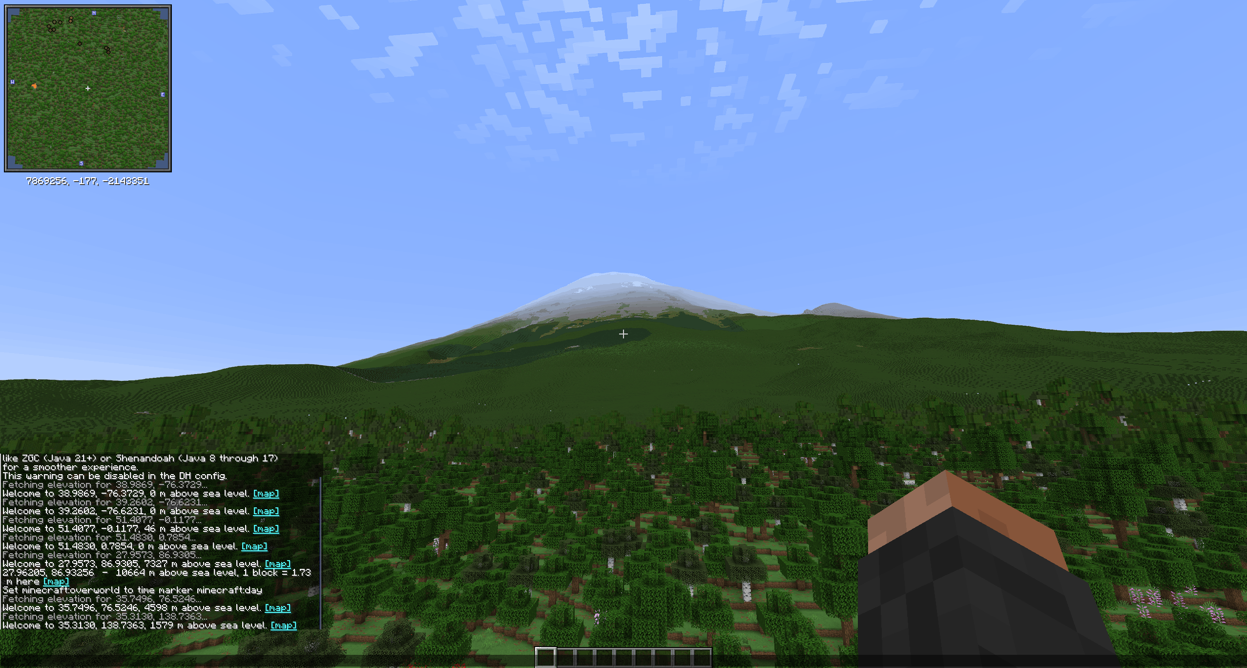
- Real terrain from elevation data at about 3–5 m resolution, smoothed so it looks natural, with heights true to scale up to 2,800 m (higher peaks are gently compressed so Everest fits).
- One continuous map of the whole planet (Mercator, like a web map): north is up everywhere, shapes are true everywhere, and one block is one metre at the latitude you start at.
- Real water: seas, lakes, rivers, canals and streams from OpenStreetMap.
- Real land cover and climate: forests, grassland, farmland, wetlands, deserts, snow and ice, with biomes and surfaces chosen by the real climate. Red banded rock in dry canyons, sandstone in deserts.
- Roads, paths and railways with working rails, and bridges over water.
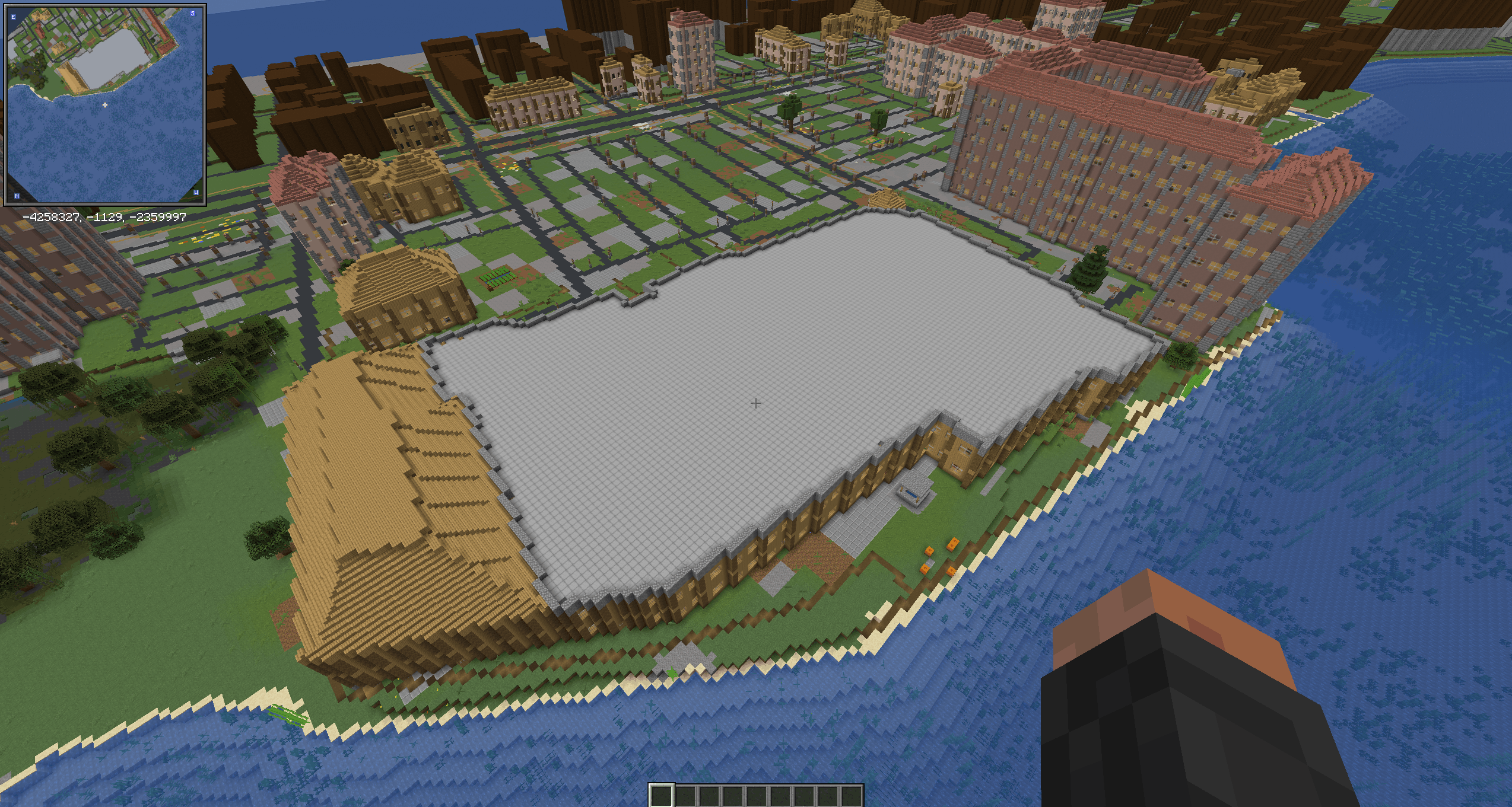
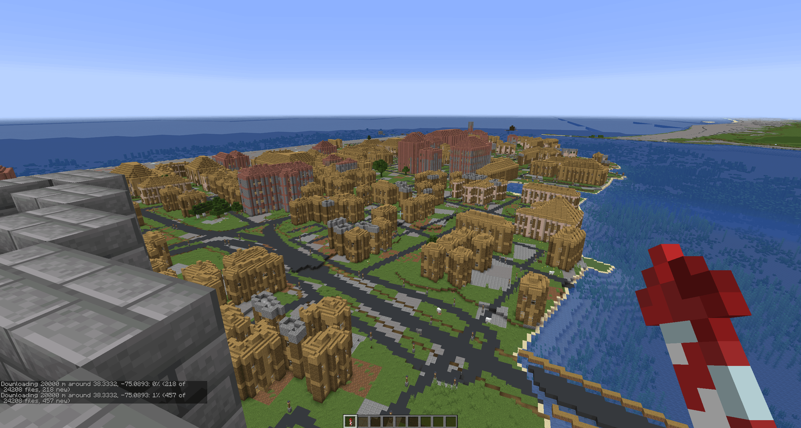
- Real buildings on their real footprints, built as village-style houses in the style of the local climate: storeys of at least 4.5 m (up to 10), windows, doors facing the street, ladders, pitched or flat roofs, furniture, job blocks and villagers. Wells, farm plots, bells and street lamps between them.
- Vanilla underneath: caves, ores at their usual depths, and all structures: villages where no buildings are mapped, mineshafts, ancient cities, ocean monuments and more.
- Distant Horizons support: distant terrain is drawn straight from the data, so you can see mountains tens of kilometres away.
- Works offline for places already visited or downloaded in advance (
/earth download), with a size-capped cache and a repair command for terrain generated while the data couldn't be downloaded.
Two ways to play
- Real Earth world type: choose Real Earth as the World Type when creating a world. The Overworld is the
real Earth, and you start in Stockholm unless you change
startLatitude/startLongitudeinconfig/realearth.jsonbefore creating the world. - Earth as a dimension in a normal world: build a nether-portal-shaped frame of lapis lazuli blocks and right-click it with a Globe Banner Pattern (from a cartographer villager).
Commands
/earth where: your real latitude, longitude and elevation, with a map link/earth tp <latitude> <longitude>: go anywhere (operators)/earth download <radius>: download an area for offline play (operators)/earth repair,/earth cache,/earth perf: maintenance (operators)/earth credits: the data sources
Requirements
- Minecraft 26.1, Fabric Loader 0.19.5+, Fabric API, Java 25
- Install on both client and server
- Recommended: Distant Horizons 3.3+ (at one block per metre, vanilla render distance shows only a few hundred metres)
- An internet connection the first time you visit a place (see below)
Internet use and privacy
Real Earth downloads public map data while you play, from these services only:
- elevation tiles from the Terrain Tiles dataset on Amazon Web Services' open data registry,
- map tiles (water, roads, railways, buildings) from OpenFreeMap,
- land cover tiles from the European Space Agency's WorldCover dataset on Amazon S3.
Only map tiles are requested; no information about you, your world or your computer is sent, and there is no
telemetry. Downloads are kept in realearth-cache/ in the game folder (8 GB at most by default, configurable)
and reused, so places you have been work offline. The climate map is bundled.
Good to know
- Generation in big cities is about 1.5× the cost of countryside; first visits wait for downloads.
- Buildings are village-style houses on real footprints, not replicas; interiors are open floors furnished along the walls.
- Scale is exact only at the start latitude: places nearer the equator come out smaller, places nearer the poles larger.
- The elevation data is coarse in places (central Stockholm is unusually flat, for example).
Credits
Map data © OpenStreetMap contributors (ODbL), served by OpenFreeMap (© OpenMapTiles). Elevation: Terrain Tiles
on AWS (Mapzen), from USGS, NOAA, Copernicus EU-DEM and national agencies. Land cover: © ESA WorldCover project
2021, contains modified Copernicus Sentinel data (CC BY 4.0). Climate: Beck et al. (2023), Köppen-Geiger maps
(CC BY 4.0). Full credits in CREDITS.md in the mod's jar, or in game with /earth credits.
Screenshots
Gallery
-
 Screenshot 2026-10-03 182529.png Screenshot 2026-10-03 182529.png
 -
 Screenshot 2026-10-03 180827.png Screenshot 2026-10-03 180827.png
 -
 Screenshot 2026-10-03 180722.png Screenshot 2026-10-03 180722.png
 -
 Screenshot 2026-10-03 113114.png Screenshot 2026-10-03 113114.png
 -
 Screenshot 2026-10-03 110830.png Screenshot 2026-10-03 110830.png
 -
 Screenshot 2026-10-02 225300.png Screenshot 2026-10-02 225300.png
 -
 Screenshot 2026-10-02 221325.png Screenshot 2026-10-02 221325.png
 -
 Screenshot 2026-10-02 205825.png Screenshot 2026-10-02 205825.png
Versions
Files
Relations
Project Relations
More like this
Similar Mods
Suggestions use data such as tags, dependencies, dependents, descriptions, titles, and more to rank how much they overlap with this mod.
On ModDex
Community snapshot
By the numbers
Statistics
 (opens in a new tab)
Get it on
Available Platforms
On ModDex
Community snapshot
By the numbers
Statistics
Resources