Community listing page, reviews here may not be monitored by the author.
Routes


No reviews yet
Physical roads generated in world-gen that connect your world's structures - named routes, towns and areas, with waypoints and full Xaero map integration.
Community voices
Reviews
No reviews yet. Be the first to review this project!
Get it on
Available Platforms
Compatibility
Supported Environments
Must be installed on both the client and the server.
About
Project Details
For authors
Embed Badge
If you're the author of this project, you can embed a live badge anywhere that supports HTML or Markdown. It updates automatically whenever ratings change.
Use HTML for any page that supports it, or Markdown for README files and Markdown-based descriptions.
Identifiers
Platform IDs
About
Description
Routes
Give your world a real road network. Routes generates physical roads during world-gen that connect your world's structures — signposted, named and lit — and ties them together with quality-of-life map integrations, so exploring feels like a real region instead of an open sandbox.
Works on a plain Minecraft world and is compatible with modpacks — it auto-connects the towns they add.
🗺️ Dynamic routes (world-gen)
- Automatic road network between cities — villages by default, plus a Cities include checklist built from the structures your world actually has, grouped by the mod each one comes from, so YOU decide what the roads connect. Your modpack's own towns show up in that list. Terrain-aware A* paths, 3–5-block roads, built incrementally and resumed after a restart.
- Every route has its own look — by default each road picks its own surface material, and lighting (lamp posts, tunnel lanterns, underwater sea lanterns) is decided per route: most are lit, the occasional dark road keeps exploring spooky. All overridable.
- Ring roads — the network keeps closing loops between nearby towns, and every loop encloses a named AREA (A1, A2, … with nature names like A3-Frostpine).
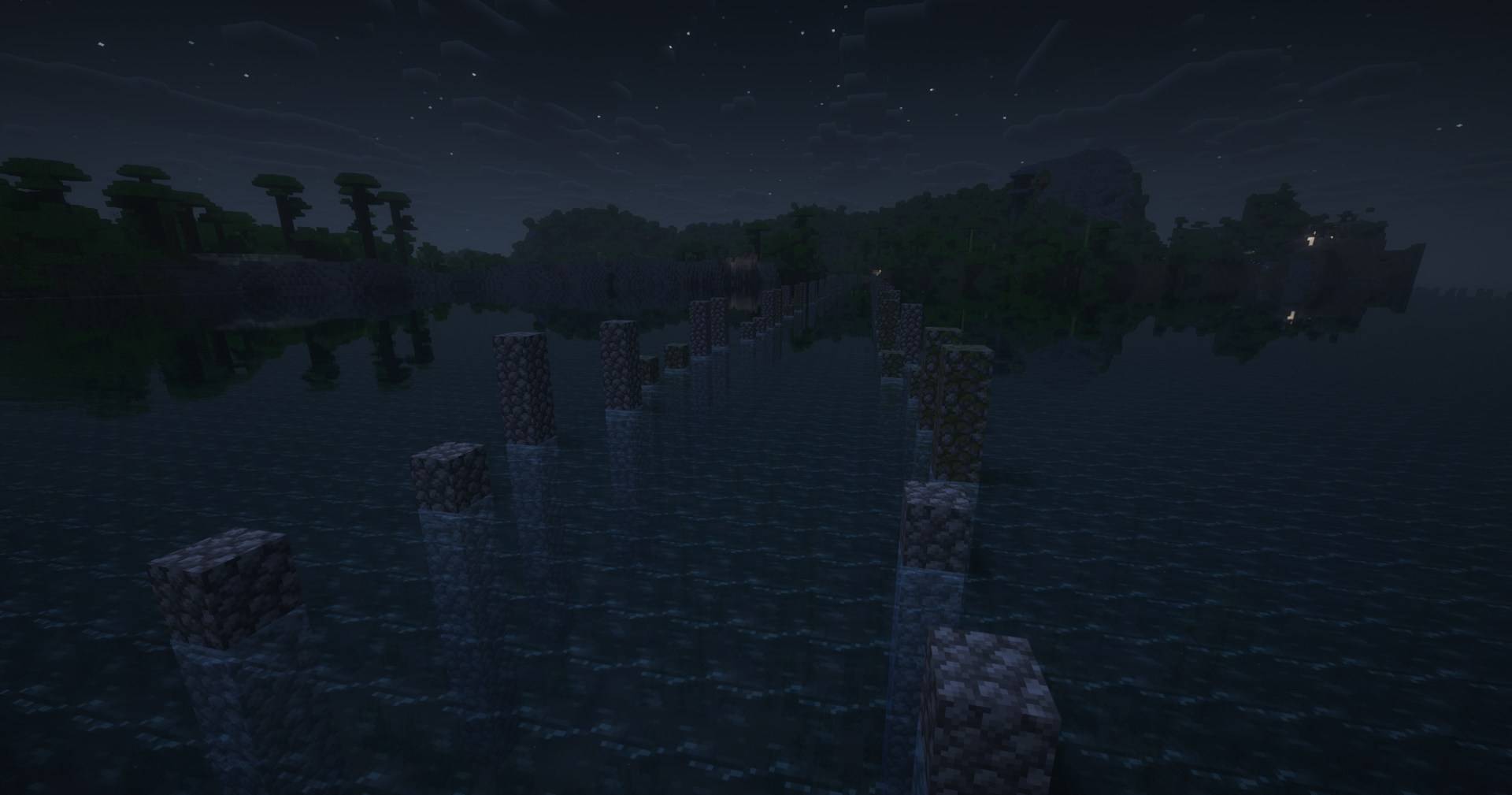
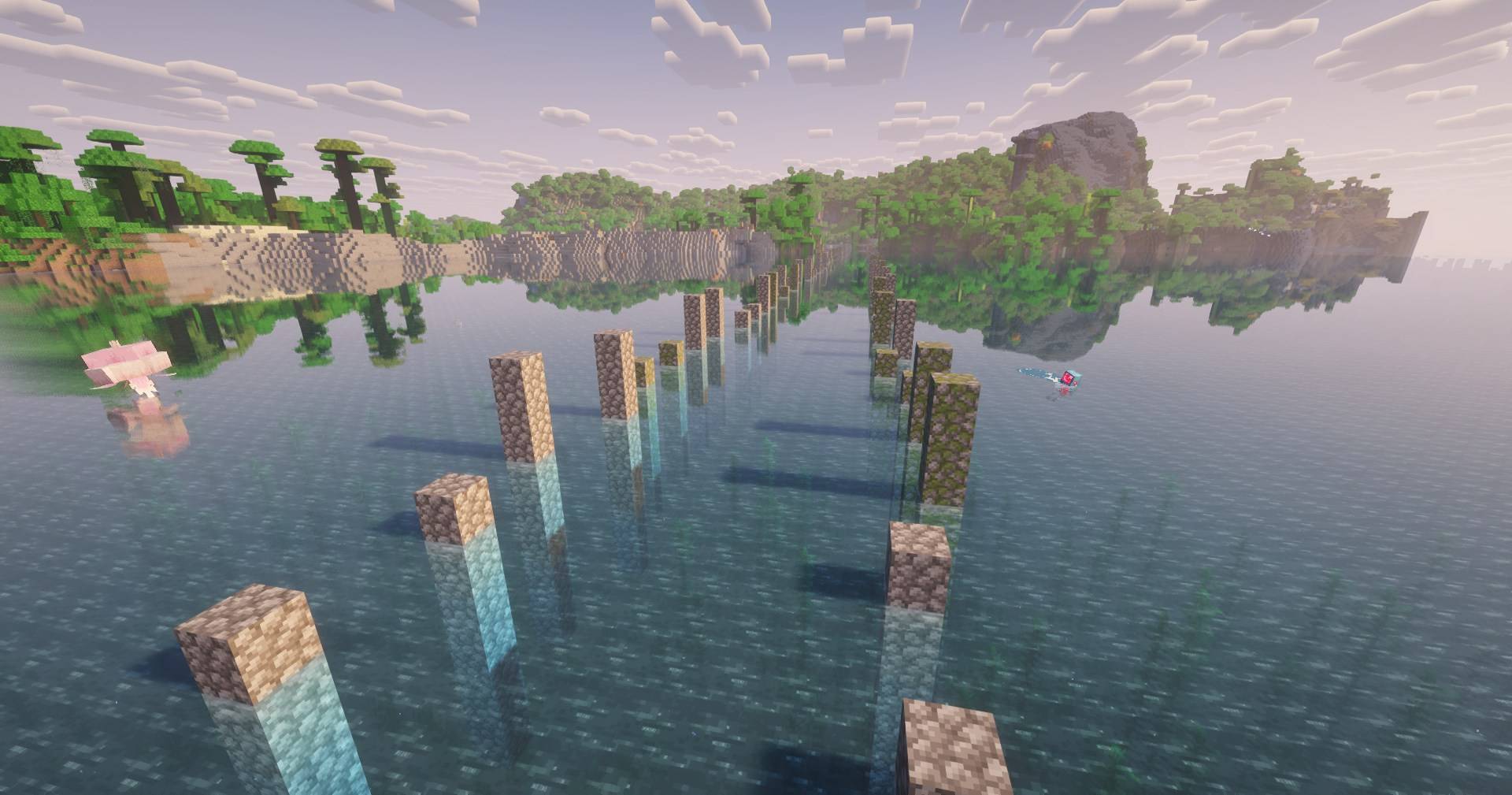
- Mountain tunnels, water crossings (open, swimmable channels with a paved, lit seabed and lane-marker rocks), descriptive route names (Route 3: Plains Forest), predicted city names, junction signs, and spawn-in-a-city.
🧭 Integrations (optional)
- Waystones — activating a waystone registers it as a named city on the route network.
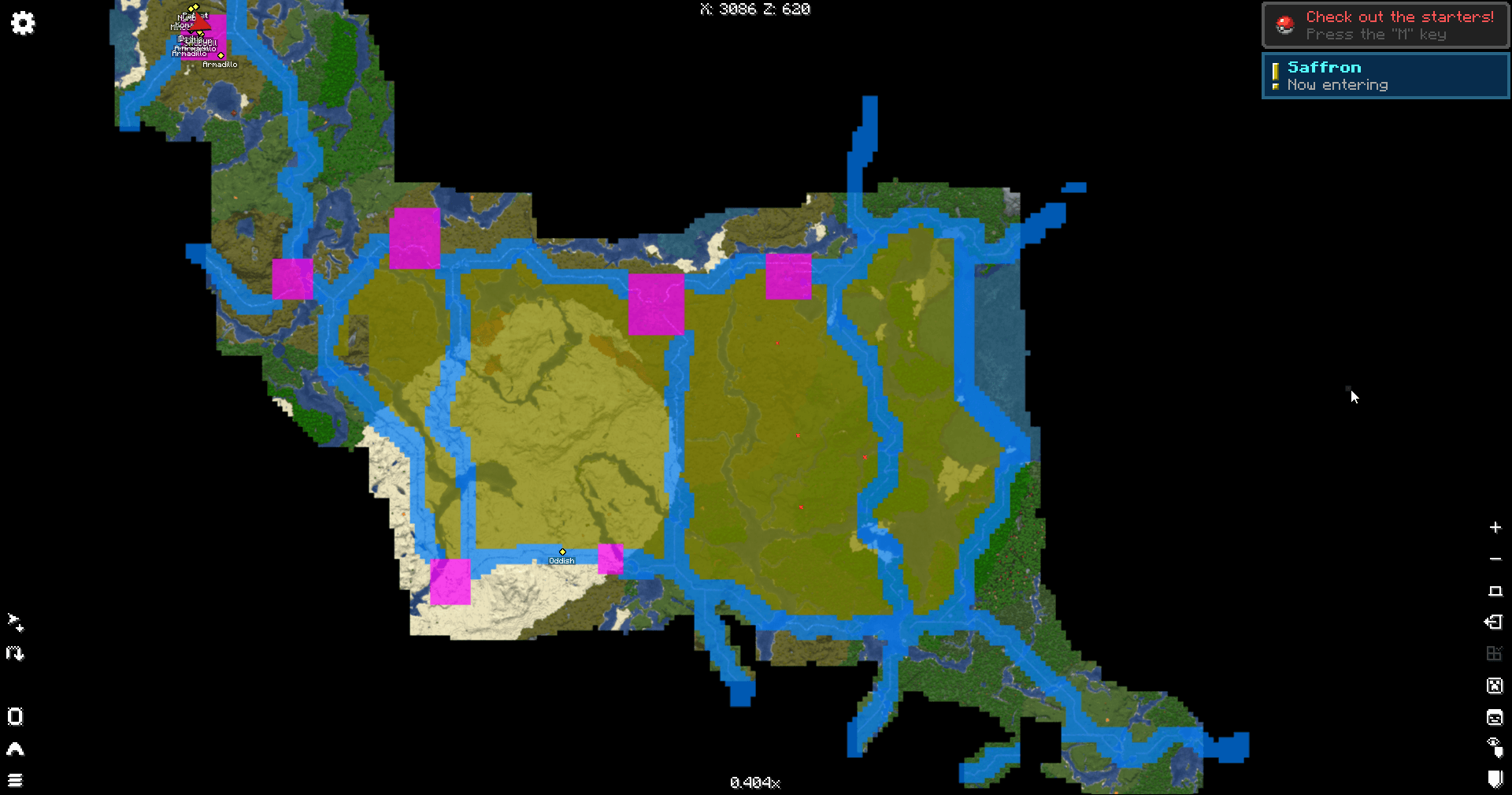
- Xaero's Minimap & World Map — named towns drop waypoints, and an optional layer tints every chunk by its category: magenta cities, orange routes, and teal areas that only paint once your roads truly enclose them. The world map carries its own control column: paint toggle, repaint, and live intensity sliders per category.
⚙️ Configuration
Everything is chosen on the create-world tabs (per world) or in the config JSON, with English & Spanish labels — plus live map-paint sliders right on Xaero's world map.
Compatibility
- Minecraft 1.21.1 · Fabric & NeoForge · Java 21
Required
- Fabric API (Fabric) · Architectury API · Cloth Config
Optional
- Waystones · Xaero's Minimap · Xaero's World Map
🧭 Roadmap
- 1.1 — a map suite: instant paint overlay, custom per-category colors matched by the waypoints, markers for cities/routes/areas, load-and-discover map on demand, and spawn pregeneration.
- 1.2 — JourneyMap support and reorganized world-creation tabs.
- 1.3 — better routes: more designs, occasional handrails, more lighting models.
🚀 Actively developed — new features land often, and the roadmap grows from player feedback.
Links
- ⬇️ Also on Modrinth and CurseForge — one version per loader.
- 📖 The wiki — every feature explained, with diagrams.
- 💬 The Discord — report bugs, suggest features, say hi.
- 💛 Sponsor shiero — if the mod made your world more fun, this keeps the routes being built!
License
By shiero. Source-available with revenue-sharing — free for personal/non-commercial use (with attribution); selling it, paid servers or paid modpacks require an agreement with the author. In short: if you make money, shiero makes money. Content creators are the exception: videos, streams and reviews are free and encouraged, monetized or not — just credit the mod and link a project page. See the LICENSE for the full terms.
🗺️ Routes
Your world has towns. It should have roads between them.
Routes builds a real road network during world generation — physical, signposted, named and lit — running from one settlement to the next across whatever terrain is in the way. It bridges rivers, bores tunnels through mountains and lays paved channels across open water, so the map between two towns stops being a gap you cross and becomes a place you travel.
Works on a plain Minecraft world, and picks up the towns your modpack adds without being told.
✨ What you get
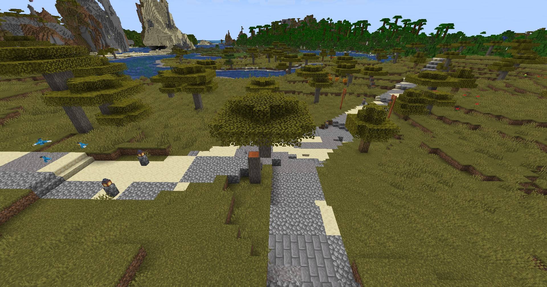
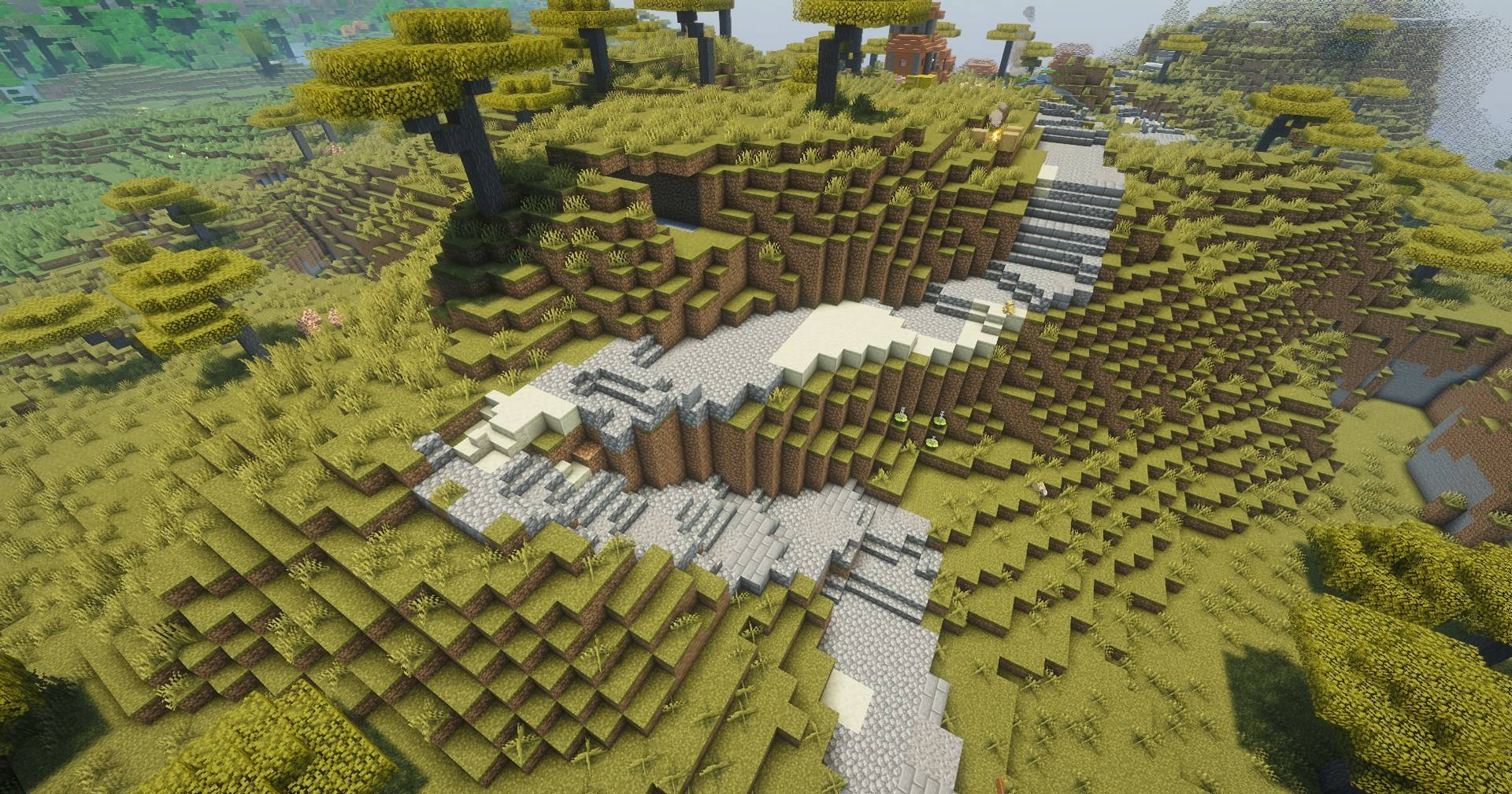
- 🛣️ A road network that plans around the ground — terrain-aware pathfinding lays 3–5 block roads, built incrementally as you explore and picked up again after a restart.
- 🏘️ You choose what counts as a town — a checklist built from the structures your world actually has, grouped by the mod each one came from. Villages by default; your pack's own settlements are right there in the list.
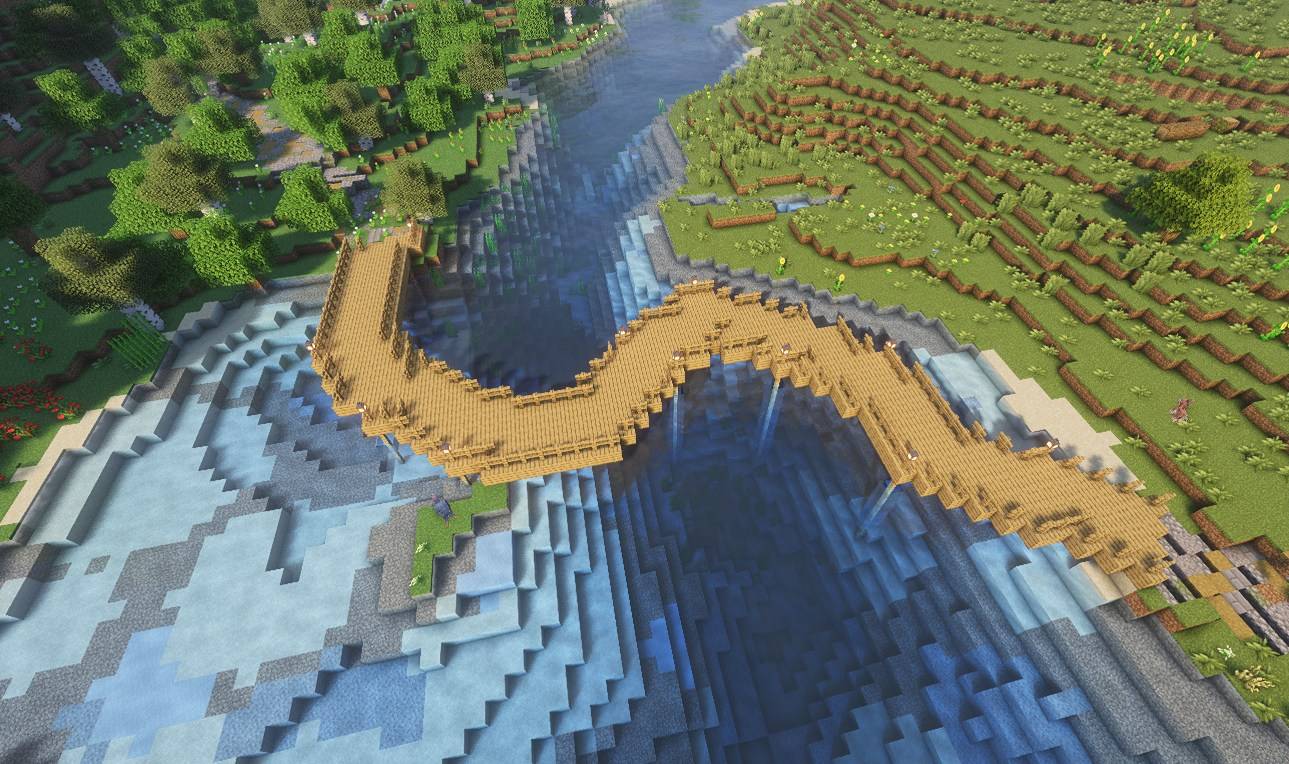
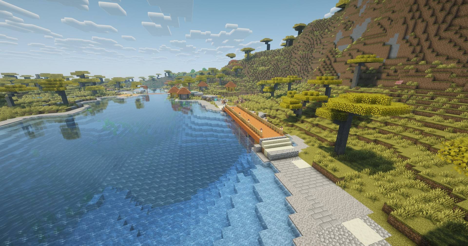
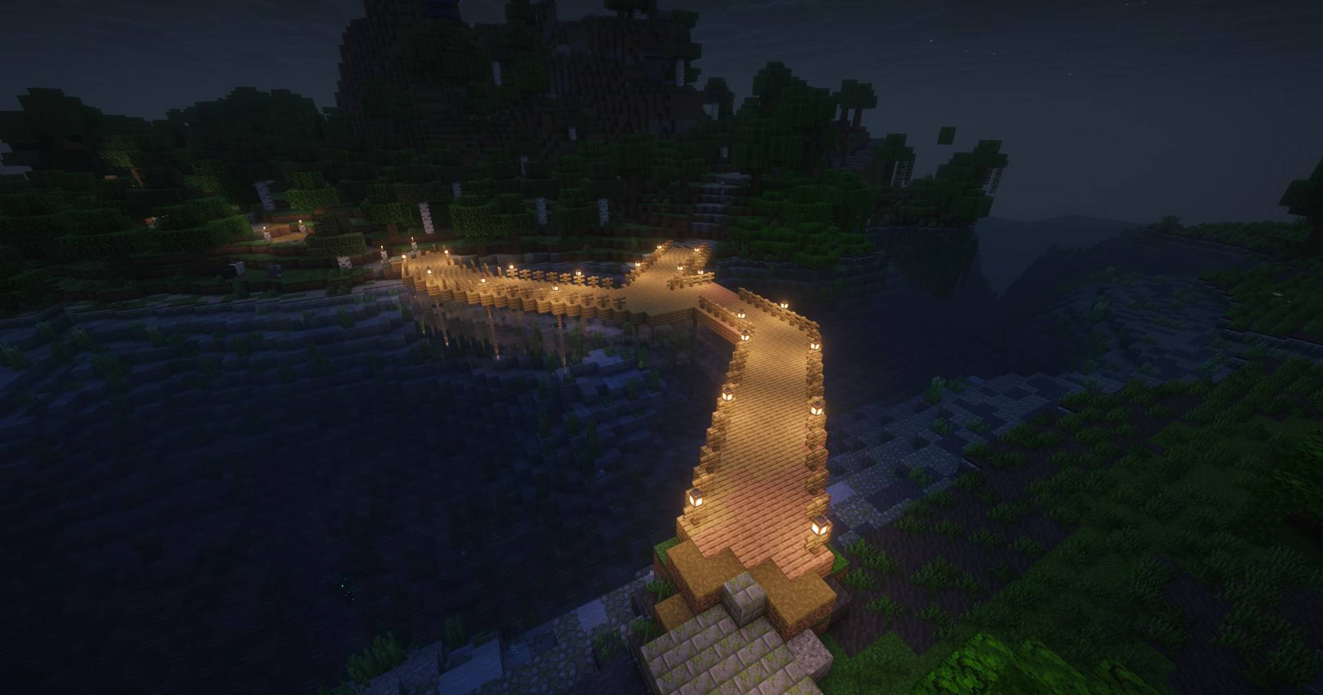
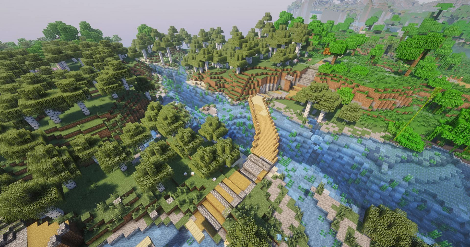
- 🌉 Bridges, tunnels and water crossings — a river gets a deck, a mountain gets a bore with lanterns in it, and open water gets a swimmable channel with a paved, lit bed and marker rocks down both sides of the lane.
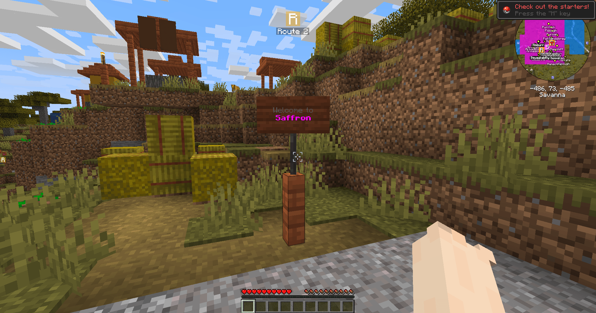
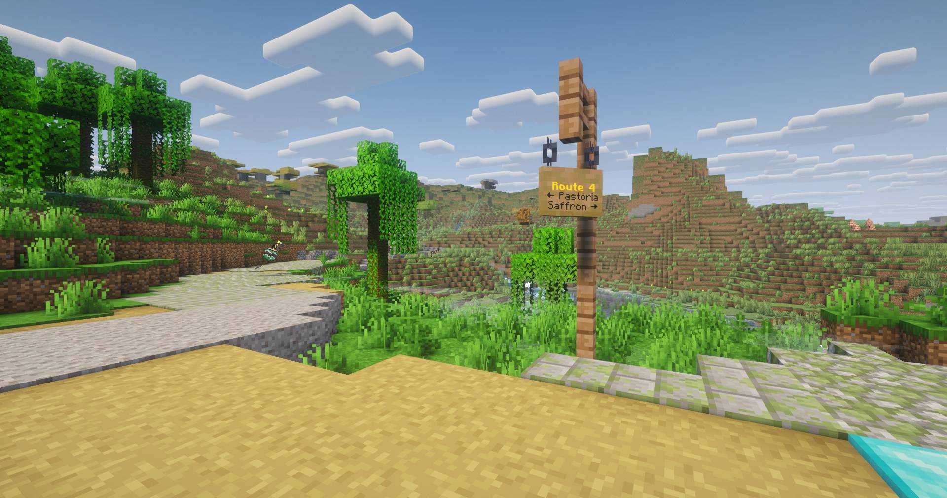
- 🪧 Every road has a name and says so — Route 3: Plains Forest on the signposts, junction signs where roads meet, and a welcome board on the way into town.
- 🔵 Loops enclose named areas — as the network closes rings between nearby towns, the ground they surround becomes a numbered, named region (A3-Frostpine).
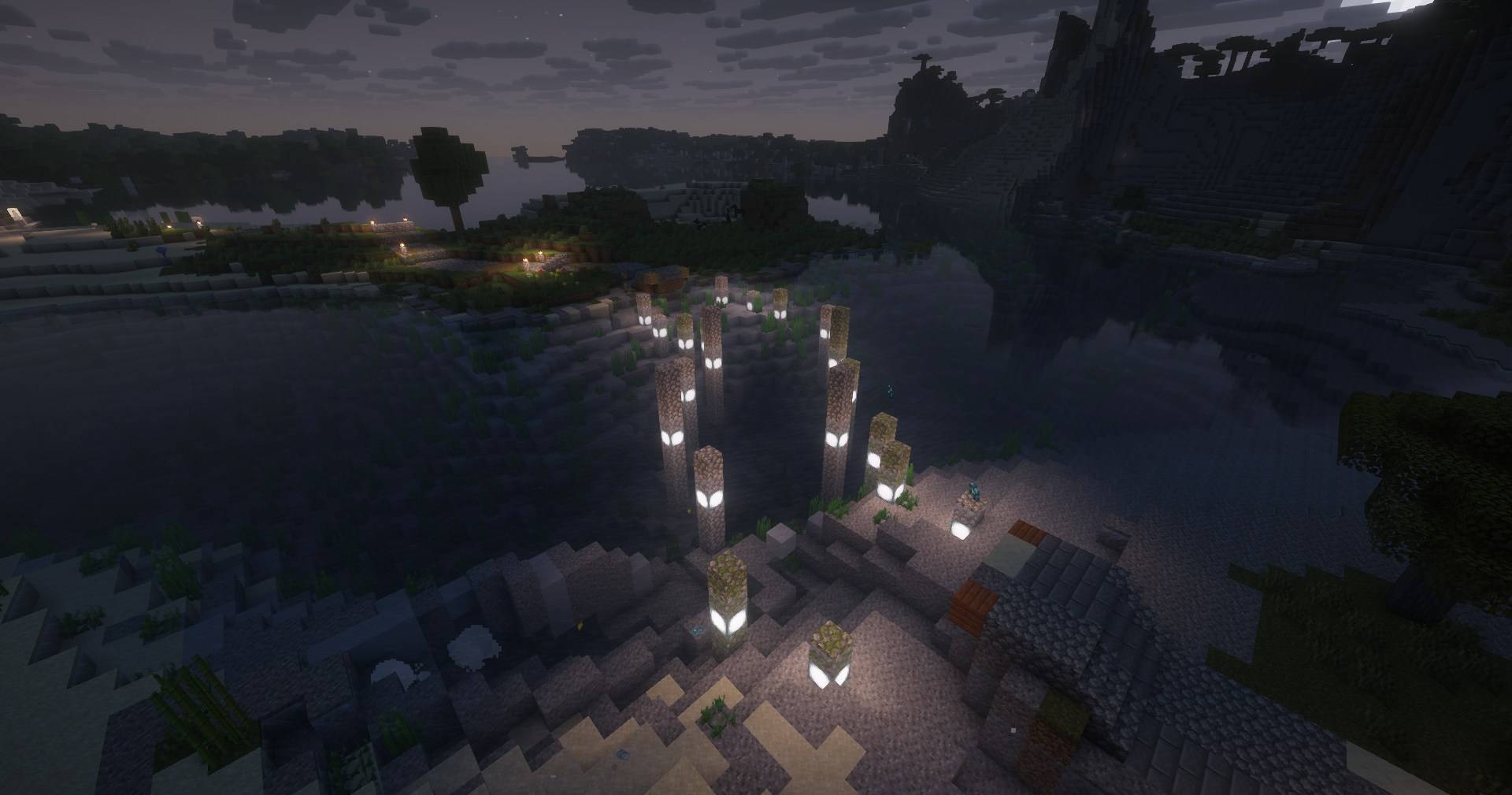
- 🔦 Each road has its own look — surface material and lighting are decided per route, so most are lit and the occasional dark one keeps exploring spooky. All of it overridable.
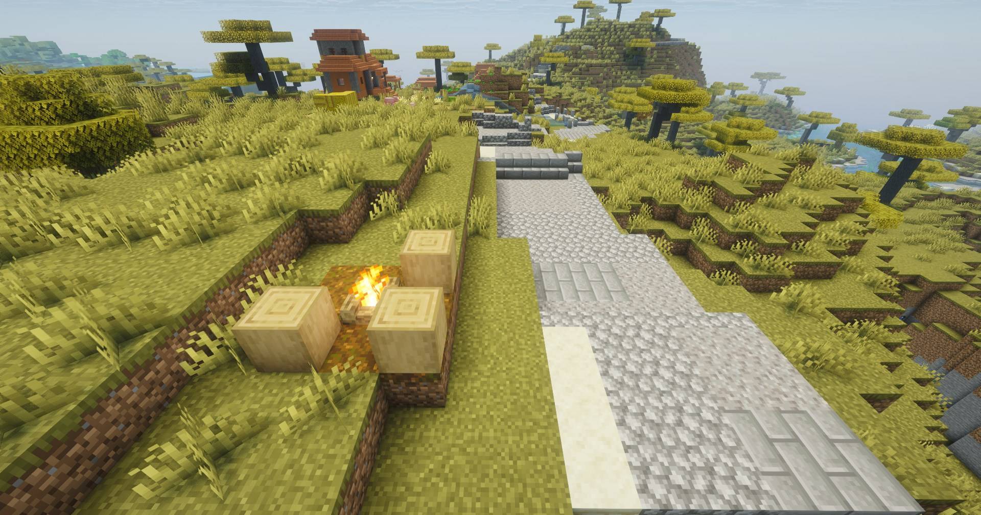
- ⛺ Somewhere to stop — campfire camps along the longer stretches, with supplies.
- 🏙️ You start in a town — world spawn moves to a real settlement, already on the network.
All of it is configurable — per world when you create it, and in game once you are in it, in English and Spanish.
🗺️ Map integration (optional)
With Xaero's Minimap (CurseForge) or Xaero's World Map (CurseForge) installed, towns, roads and areas each get their own waypoints in their own filterable sets, and an optional layer tints every chunk by what it is — towns, roads, and the areas that only paint once your roads truly enclose them. The colours are yours to pick.
New worlds generate a circle of ground around spawn, so the map opens on towns and roads instead of an empty grid.
With Waystones installed, activating a waystone puts it on the network as a named town.
🧩 Requirements
- Minecraft 1.21.1 · Fabric or NeoForge · Java 21
- Fabric: Fabric API + Architectury API + Cloth Config.
- NeoForge: Architectury API + Cloth Config.
Cobblemon is not required. Routes declares no Cobblemon dependency of any kind. It does pair with it: with Cobblemon installed the towns take their names from the mainline regions, and with Cobblemon Picnic (CurseForge) installed some rest stops come up as picnic tables instead of camps. Without either, nothing is missing.
📖 Everything else
Settings, commands and the full feature reference live on the wiki.
Found a bug or have an idea? The Discord picks reports up automatically and replies in your thread when the fix ships.
The mod is free and stays free — you can sponsor the author if it made your world worth walking across.
License: "If you make money, I make money" — free to use and redistribute for free; commercial use needs a revenue-sharing agreement. Videos, streams and reviews are always free, monetized or not. Full terms.
Screenshots
Gallery
-
 Discord_S2KDBlrJFg.jpg Discord_S2KDBlrJFg.jpg
 -
 Discord_6FshTiT0OS.png Discord_6FshTiT0OS.png
 -
 Discord_TqR4AJ5c8M.jpg Discord_TqR4AJ5c8M.jpg
 -
 Discord_GZ6ZUwbIpA.jpg Discord_GZ6ZUwbIpA.jpg
 -
 Discord_7IBoQ1HAjt.jpg Discord_7IBoQ1HAjt.jpg
 -
 Discord_v3F8g2rDRd.jpg Discord_v3F8g2rDRd.jpg
 -
 Discord_rBpreAlIG6.jpg Discord_rBpreAlIG6.jpg
 -
 Discord_90TA8e2oUb.jpg Discord_90TA8e2oUb.jpg
 -
 Discord_MwoXv6cleF.jpg Discord_MwoXv6cleF.jpg
 -
 Discord_xlyn5IjFgT.jpg Discord_xlyn5IjFgT.jpg
 -
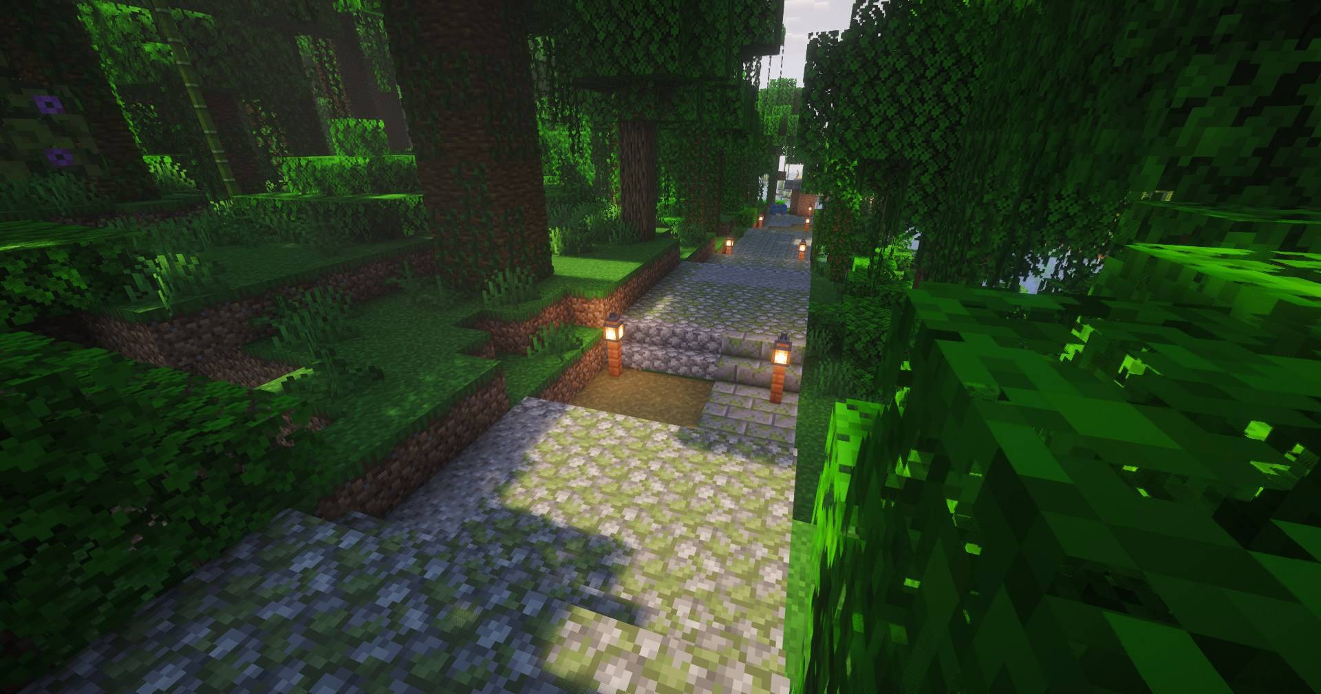 image-attachment_3f854b7e-c6ed-468b-b09b-fe79e32677ed.jpg
 -
 Discord_XjkD8eA3so.jpg Discord_XjkD8eA3so.jpg
 -
 Discord_wGmXFgjUUR.png Discord_wGmXFgjUUR.png
 -
 Discord_j4NVfHxpk0.jpg Discord_j4NVfHxpk0.jpg
-
 Custom creation on world settings
 -
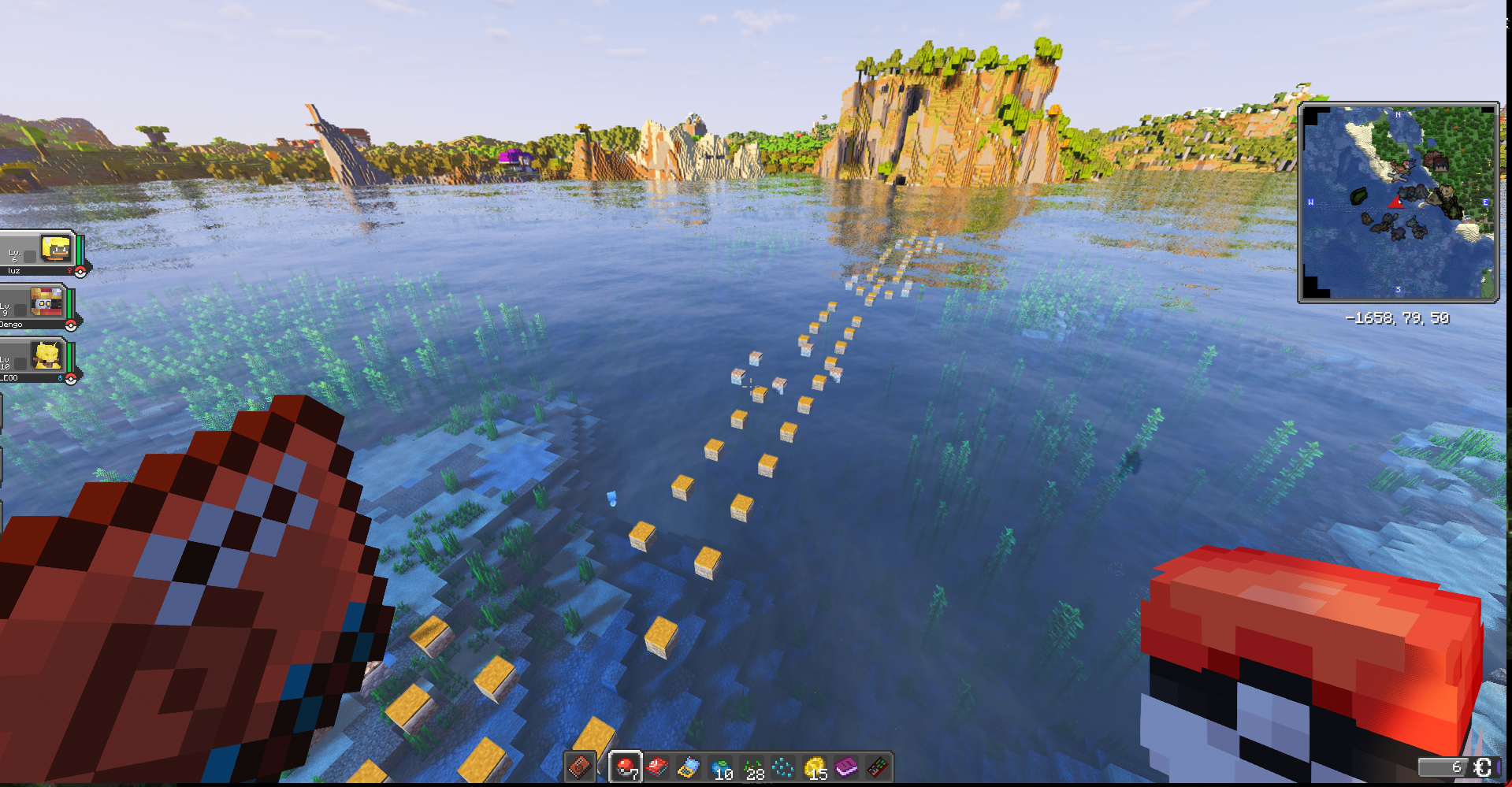 Aquatic Routes Routes keep going on water (aquatic and submarine)
 -
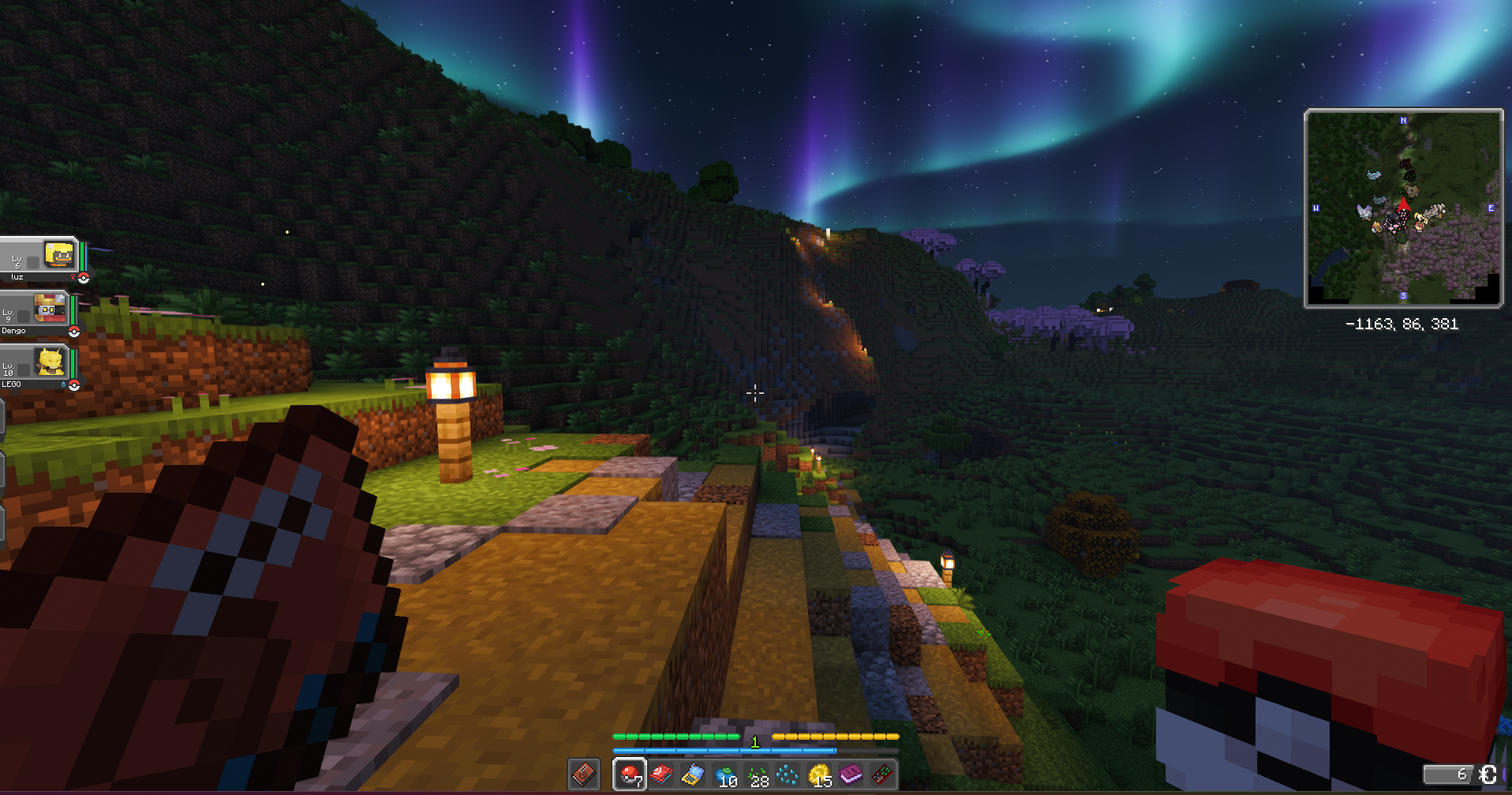 Route ilumination Dont be afraid to the dark! no mobs, explore and find pokemon that might spawn during nights only.
 -
 Cool bridges
Versions
Files
Relations
Project Relations
More like this
Similar Mods
Suggestions use data such as tags, dependencies, dependents, descriptions, titles, and more to rank how much they overlap with this mod.
On ModDex
Community snapshot
By the numbers
Statistics
Want to reach Minecraft players?
We're looking for a server hosting partner to feature here and other parts of the site. Interested? Send us a message!
Get in touchGet it on
Available Platforms
On ModDex
Community snapshot
By the numbers